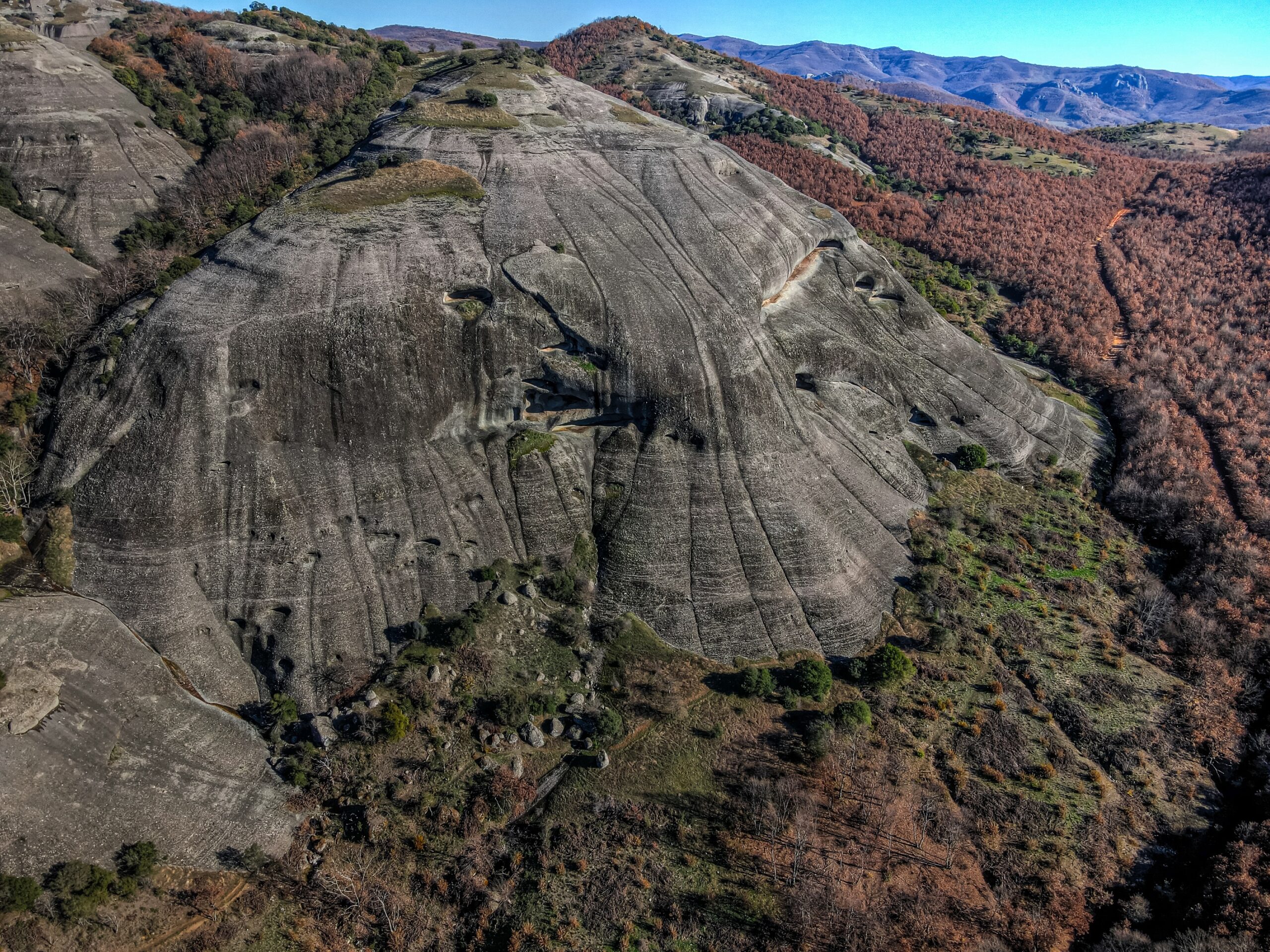
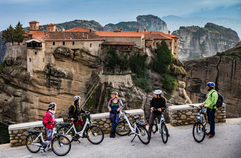
Geopark of Meteora – Pyli
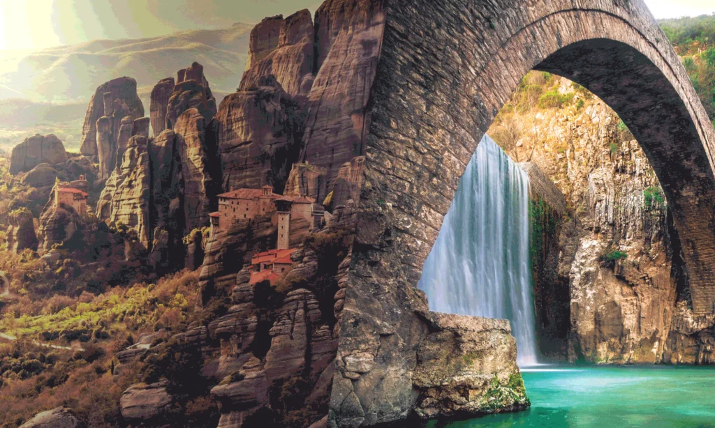
DISCOVER THE GEOPARK OF METEORA-PYLI
Let yourself be captivated by the beauty of nature and discover a unique destination filled with history, culture, and activities for everyone. Our interactive map guides you through the most stunning spots of the Geopark, allowing you to explore based on locations or points of interest that inspire you.
-
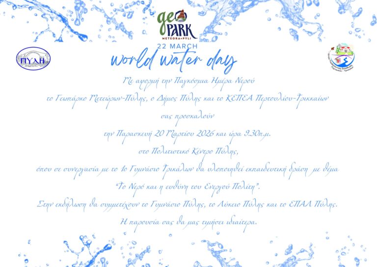
“Water and the Responsibility of the Active Citizen” On the occasion of World Water Day
The Meteora–Pyli Geopark, the Municipality of Pyli, and the Pertouli–Trikala Environmental Education Centre (KEPEA) invite you to an educational event entitled “Water and the Responsibility of the Active Citizen”, to […]
-
KOZIAKAS TRAIL is now part of ITRA.
The KOZIAKAS TRAIL organization announces that the race is now officially listed on the ITRA (International Trail Running Association) platform. ITRA listing link: ITRA. At the same time, the organization […]
-
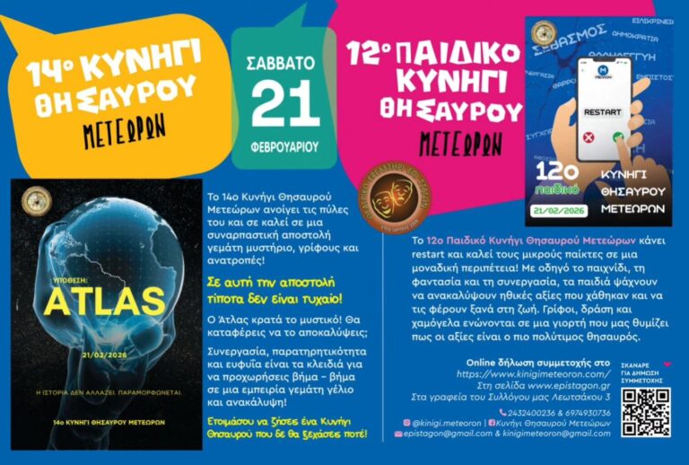
Meteora Treasure Hunt
The established Treasure Hunt returns with a new exciting scenario full of mystery, riddles, and twists. Young and old alike participate in teams, working together and exploring Kalambaka on a […]

- MO
- TU
- WE
- TH
- FR
- SA
- SU
- 23
- 24
- 25
- 26
- 27
- 28
- 1
Mushroom Festival
- 2
- 3
- 4
- 5
- 6
- 7
- 8
- 9
- 10
- 11
- 12
- 13
- 14
- 15
- 16
- 17
- 18
- 19
- 20
“Water and the Responsibility of the Active Citizen”
- 21
- 22
- 23
- 24
- 25
- 26
- 27
- 28
- 29
- 30
- 31
- 1
- 2
- 3
- 4
- 5