ROUTE Geladaria – Loupata
Geladaria – Lupata
Address
Elati 420 32
GPS
39.49819299, 21.48384299
Distance 5,020.00 m. | Technical Difficulty Moderate | Max Altitude 2,062 μ. | Duration 2 hours 30 minutes
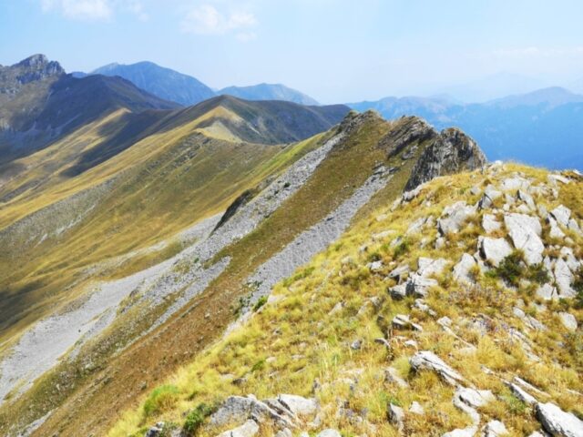
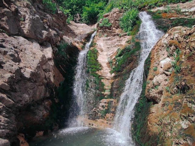
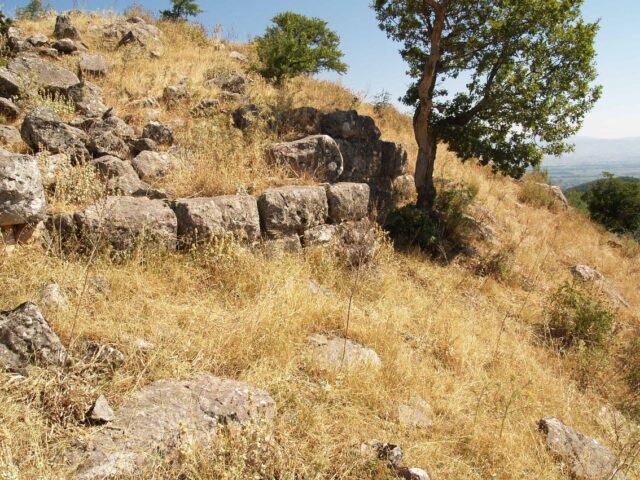
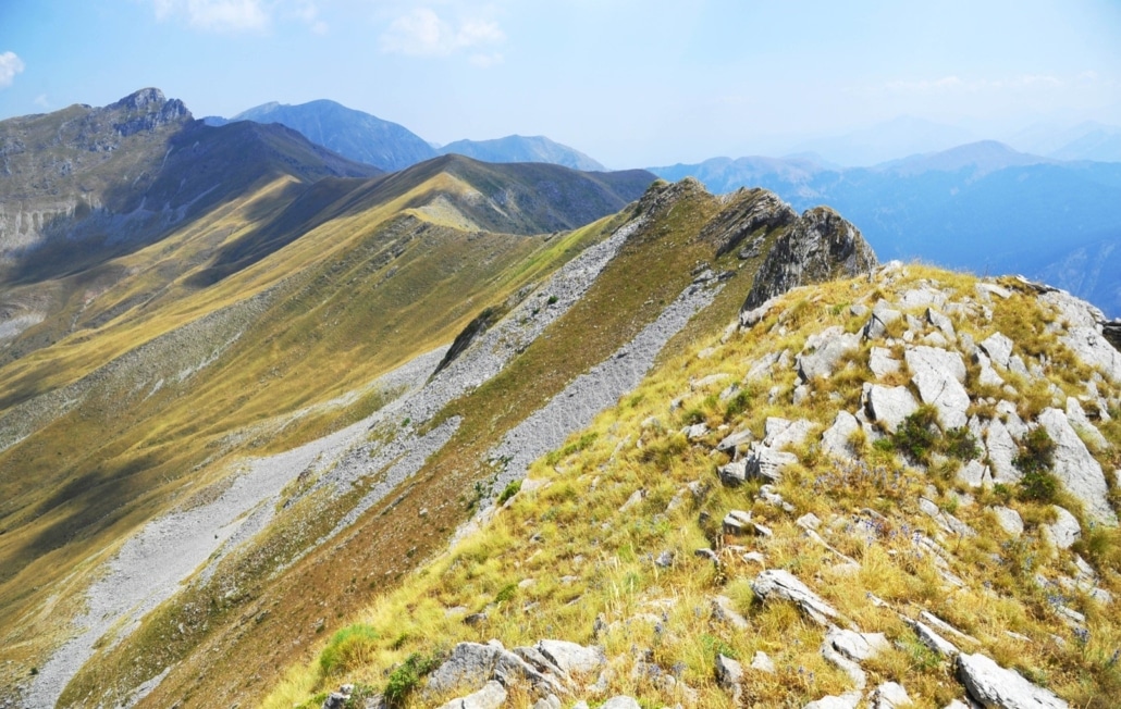
Hiking trail that starts from Geladaria location and ends at Loupata peak. The route takes about 2.5 hours in total. The route is perhaps the most beautiful and shortest route to the peak of Loupata at 2066 meters. Geladaria is a large meadow on the forest road from Korp to Neraidochori. A few meters after the meadow on the right there is a forest road heading towards Loupata. The visitor has the opportunity to observe on the rise the limestone rocks of Pindos, Cretaceous age, folded together with the Pindos Flysch formation. Near the ridge there are the ellipsoidal glacial valleys and landforms of Marosa and Avgos, which were formed by the action of glaciers in the Pleistocene glacial periods.