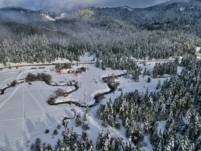
Address
Athamania 420 37
GPS
39.54416299, 21.27191599
Distance 13,590.00 m. | Technical Difficulty Moderate | Max Altitude 1,966 m. | Duration 12 hours
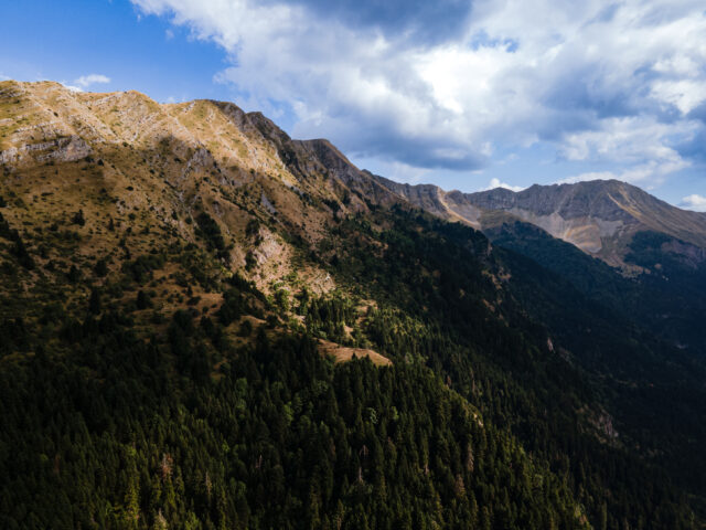
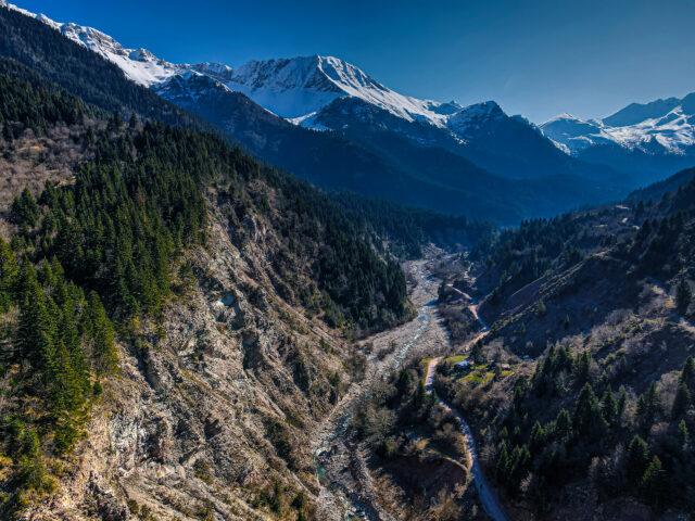
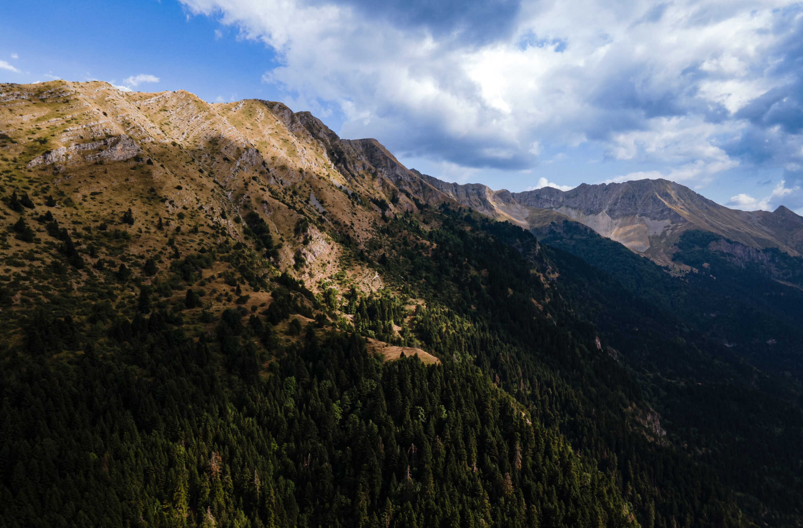
Hiking trail that starts from the Gardiki area and ends in the village of Pachtouri. The route lasts about 12 hours. The route is the classic climb to the top of Plun (Makria Rachi) ridge, which belongs to the Athamanika Mountains and is located opposite the village of Gardiki. Route starts from the forest road that connects Alexiou bridge with the village of Athamania (Moutsiara). From the forest road, the path begins on the left, marked with ribbons and red paint. The path is very uphill and continues through the dense forest. At 1400 meters we exit the forest onto a ridge with a sloping meadow with cedar where the path almost disappears. After the meadow, the route follows the ridge which is ascending and reaches the highest peak of Makria Rachi at 1926 meters. Then, the path passes by Tsigori peak and descends to the village of Pachtouri.