ROUTE Mesochora – Spitia – Hatzi
Mesochora – Spitia – Hatzi

Address
Mesochora 420 37
GPS
39.47067599, 21.32272099
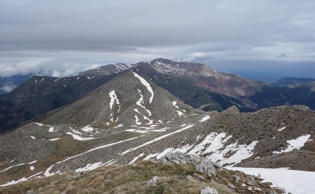
Distance 10,460.00 m. | Technical Difficulty Moderate | Max Altitude 2,038 m. | Duration 7 hours
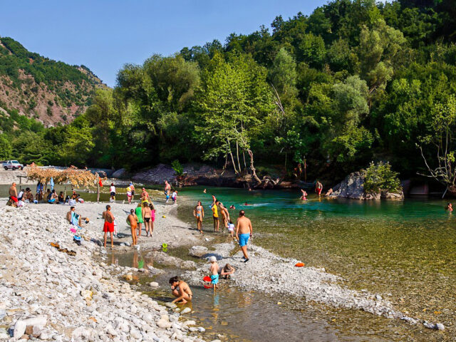
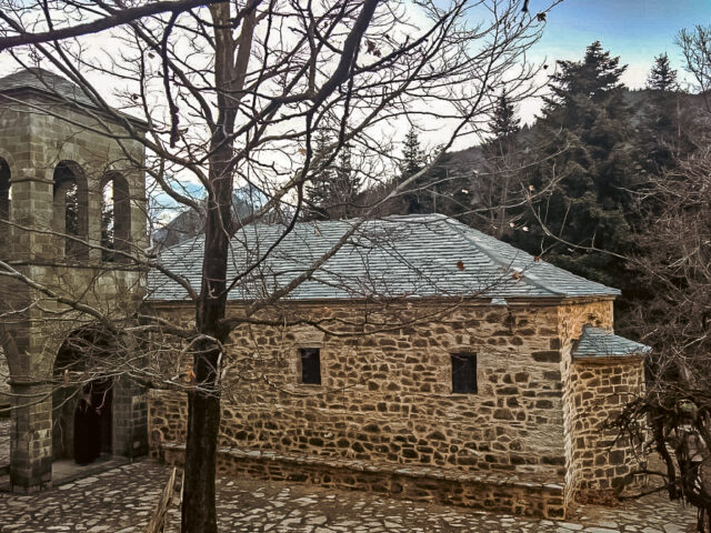
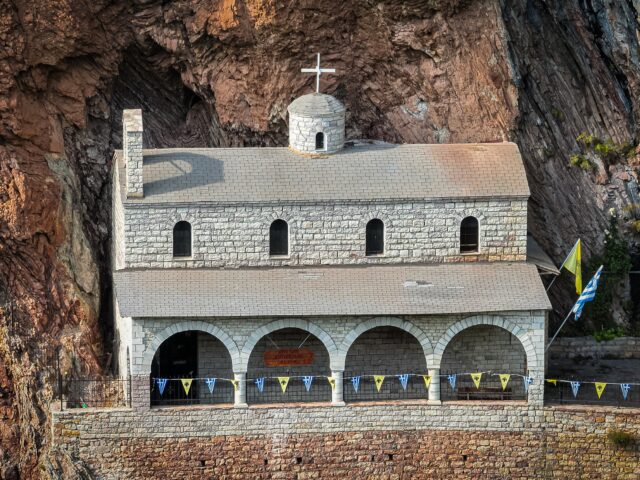
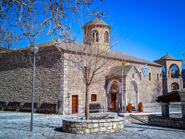
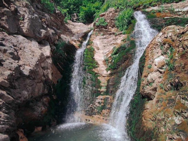
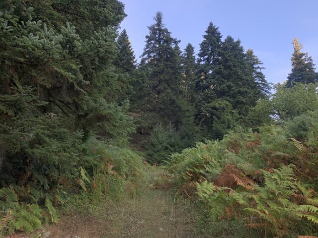
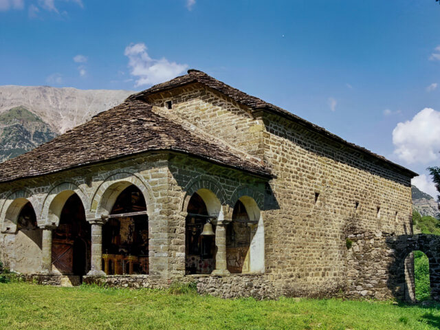
Hiking trail that starts from Mesochora and ends at Chatzi peak. The route takes about 7 hours. The trail starts from the center of Mesochora and 800 meters after the cemetery ascends to the northern slopes of Chatzi. The route passes by the chapel of Prophet Elias in Spitia and ends at Chatzi peak (2,038 meters). In the area around Spitia, volcanic rocks (basalts) of Triassic age appear, which are placed at the base of the Pindos belt. For the most part, the trail crosses the Pindos Flysch formation, with rocks (pelites, sandstones, clay shales) that are more vulnerable to erosion and form a gentler relief compared to the Cretaceous limestones that we encounter towards the top of Chatzi.