Address
Krania 420 36
GPS
39.62178099, 21.35096899
Distance 9,100.00 m. | Technical Difficulty Moderate | Max Altitude 442 m. | Duration 2,5 Hours
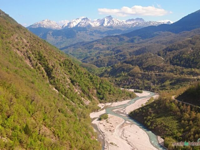
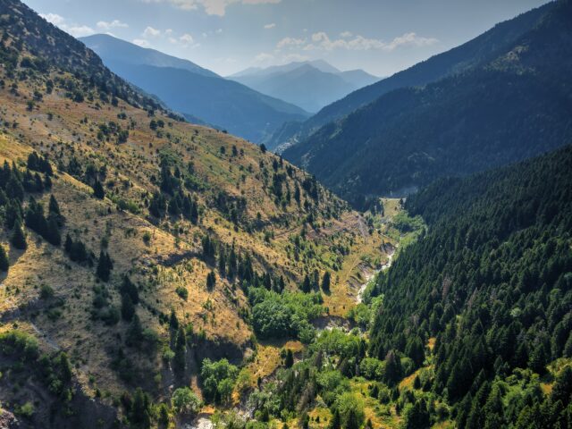
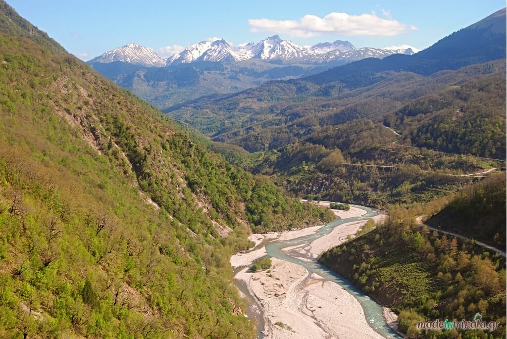
Hiking trail that starts from Krania, Aspropotamos and ends in Paleochori of Kalambaka. The route crosses the mountainous massif of Triggia through the neck at the location of Konakia. The start of the route is in the forested village of Krania. The trail ascends towards Konakia and then exits onto the eastern slope of Triggia above Paleochori. Following downhill paths and roads, the visitor ends up in the beautiful mountain village of Paleochori Kalambaka. Along the route one can see the Pindos Flysch, the Cretaceous limestone formations of Pindos, the characteristic First Pindos Flysch (hornstones/red limestones). On the eastern slopes of Triggia above Paleochori, there are extensive old and recent landslides, as well as glacial deposits of Triggia, from the Pleistocene glacial periods. The landslides characteristically shape the relief of Triggia, and form a constantly changing morphology.