Address
Eparch, Paleokaria-Ropotou Street, Pyli 420 32
GPS
39.4313642, 21.5272713
Distance 3,100.00 m. | Technical Difficulty Moderate | Max Altitude 442 m. | Duration 2 hours
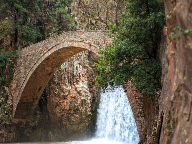
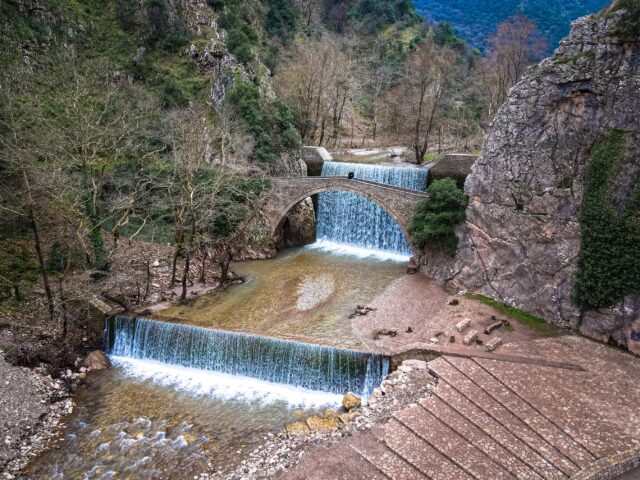
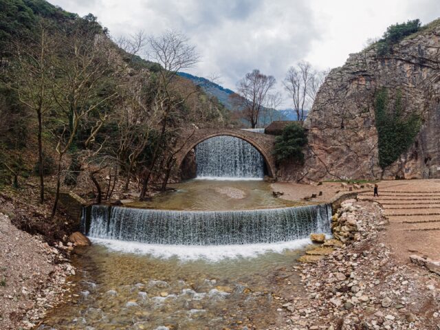
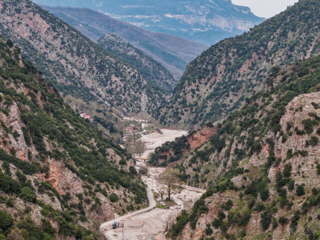
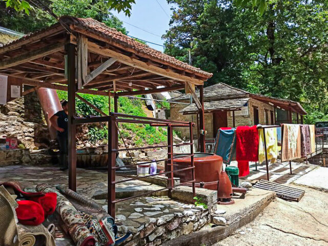
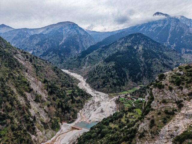
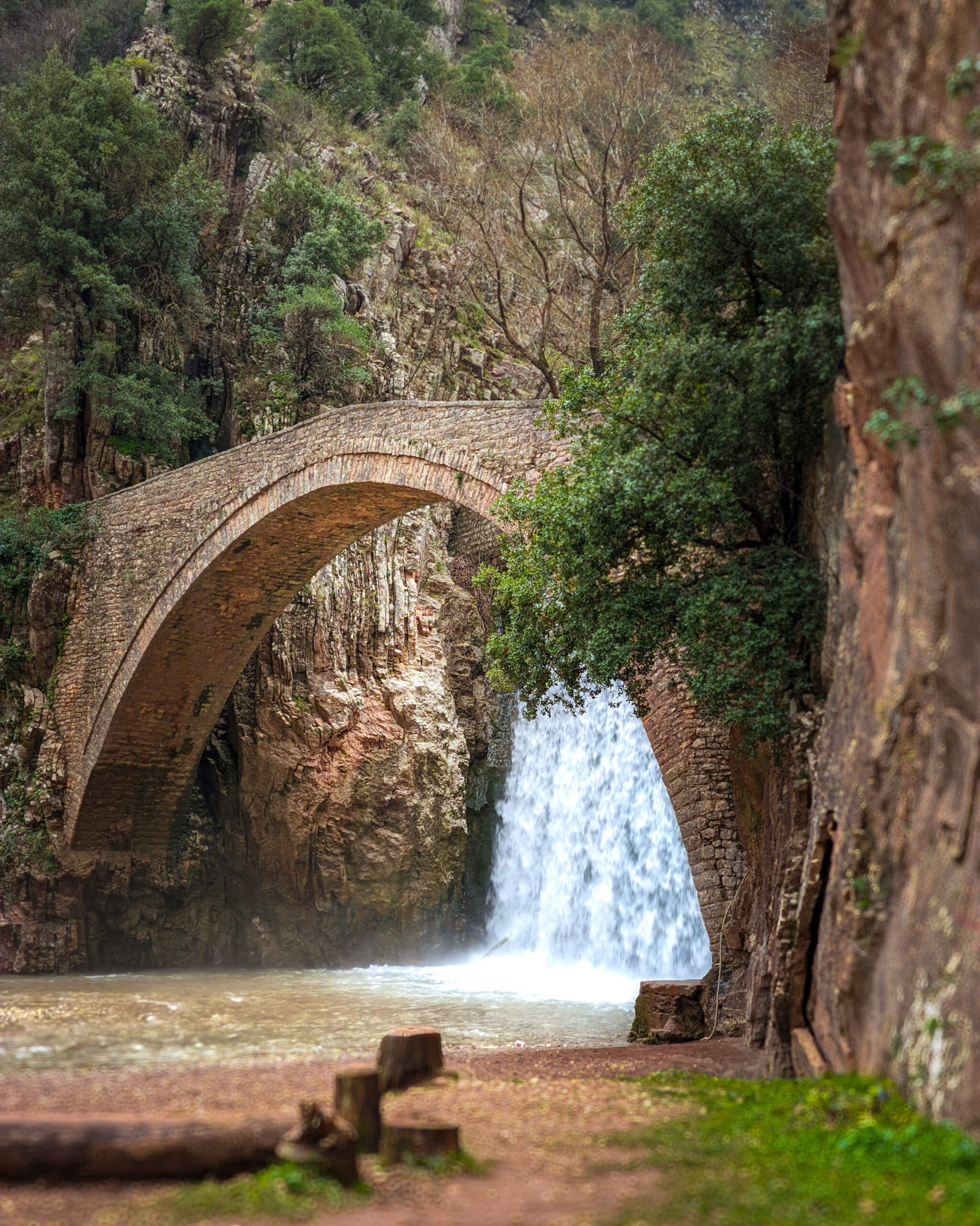
Hiking trail that starts from the stone bridge and waterfalls of Paleokarya and ends at the cemetery of Agios Ioannis, near the Watermill and Dristella of Ropotos. The route lasts approximately 120′ in total. The route is parallel to the Palaiokarya Bridge – Polythea Ropotos trail. The starting area of the route is the Geosites of Palaiokarya Site and the entrance to the Gropa Gorge. The trail crosses the Pindos Flysch formation, which consists of alternating sandstones, clay shales, claystones and limestone layers.