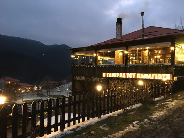
Address
Pertouli 420 32
GPS
39.54127575, 21.46645948
Distance 3,450.00 m. | Technical Difficulty Moderate | Max Altitude 1,342 m. | Duration 1 hour 50 minutes
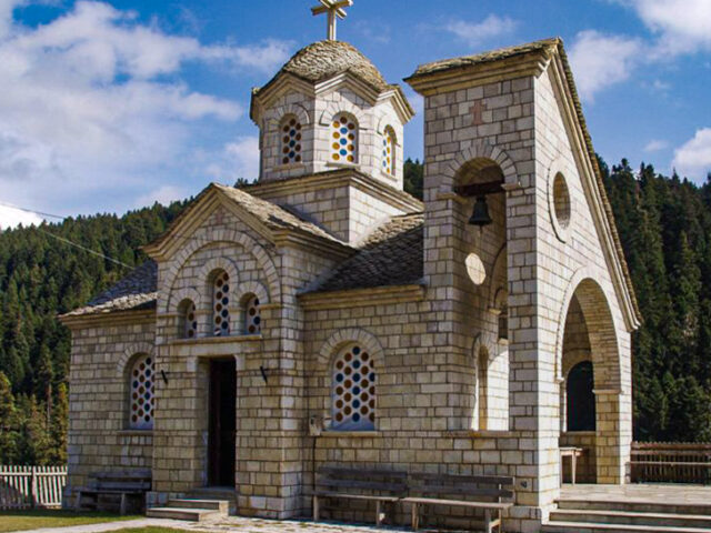
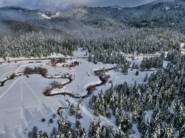
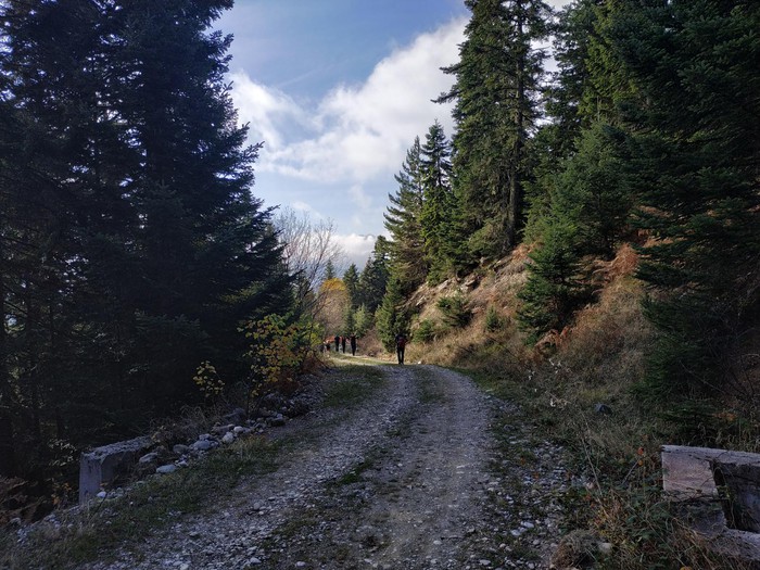
Hiking trail that starts from Pertouli and ends at the chapel of Agia Kyriaki in the meadows of Pertouli. The route lasts a total of 90′. The route ascends from the village of Pertouli and then follows a path parallel to the forest road until the location of Paliokorpi. At Paliokorpi one can continue on other routes that ascend towards the peak of Neraida and Triggia. After Paliokorpi, the trail descends to the main road and ends at the chapel of Agia Paraskevi.