Address
Agia Paraskevi 422 00
GPS
39.57064421, 21.25683782
Distance 2,638.89 m. | Technical Difficulty Moderate | Max Altitude 917.37 m. | Duration 120 min
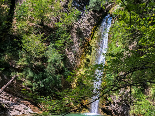
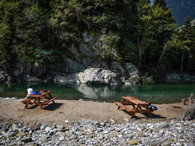
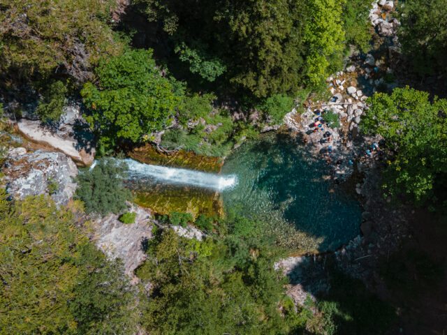
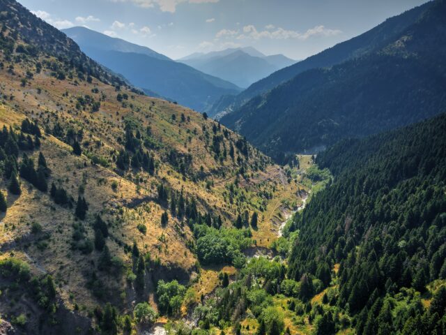
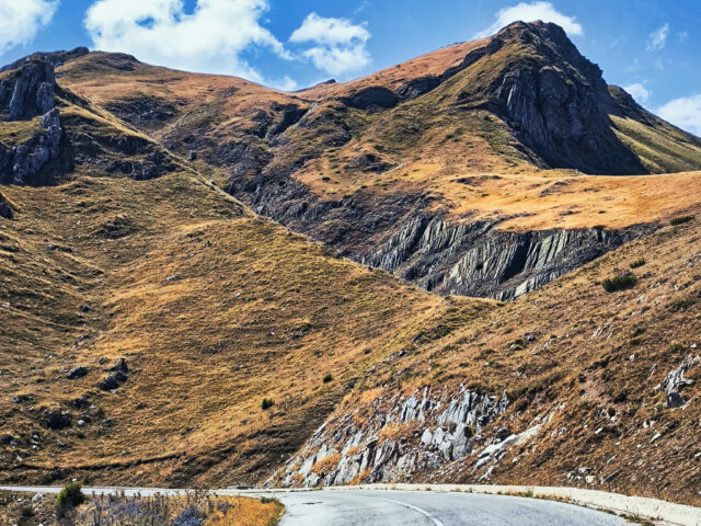
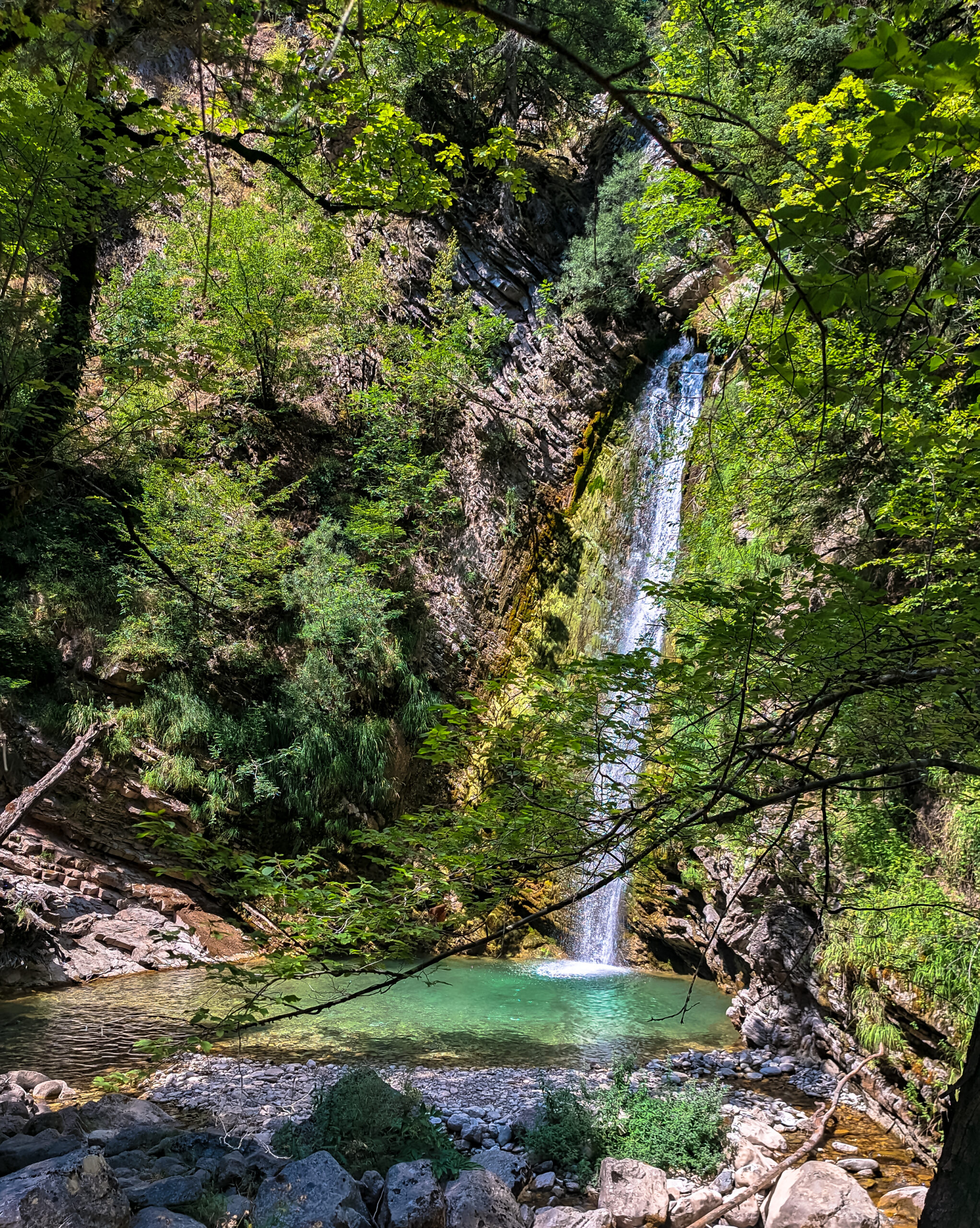
Hiking trail that starts from the church of Agios Georgios in Agia Paraskevi (Tzourtzia) and ends at the ‘The Demon’s Mandani’waterfall. The route lasts approximately 120′ in total. The classic hiking trail follows the eastern side of the valley through the trail. A landslide in January 2021 blocked the river bed of the Kali Pigi stream along the trail, forcing the stream to dig a new bed on the eastern side. In the final part of the trail, the trail follows the rocky bed of the stream upwards and leads to the Tzourtzia Waterfall “Mantani tou Daimonas” Geosite. The waterfall is located at an altitude of 1,100 meters in a beautiful landscape with fir trees.