Address
Kalabaka 422 00
GPS
39.692826096899, 21.58438733801
Distance 9,588.57 m. | Technical Difficulty Moderate | Max Altitude 561.29 m. | Duration 180 minutes
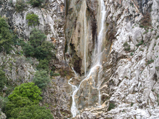
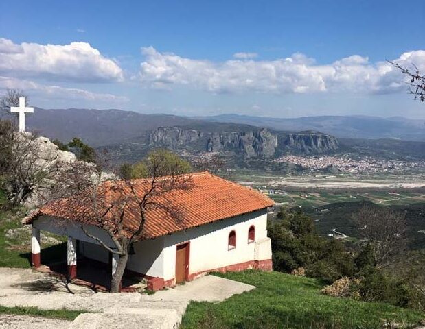
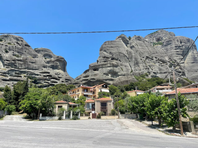
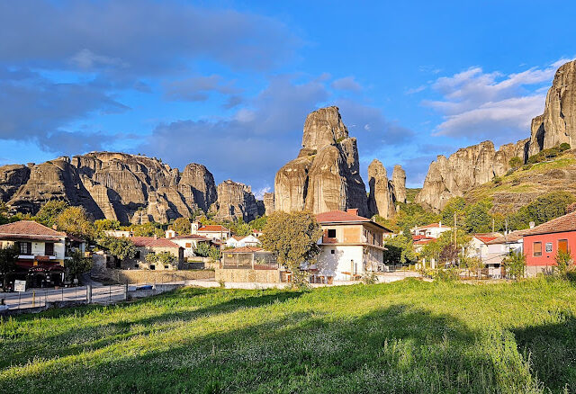
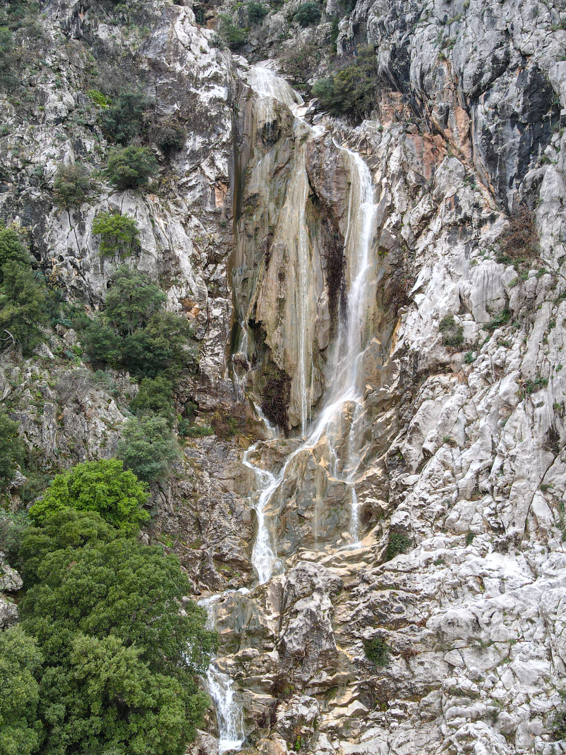
Hiking trail that starts from the chapel of Agia Paraskevi near the homonymous settlement and ends in Diava. The circular route lasts a total of approximately 180′. The visitor has the opportunity to observe the impressive limestone formations of Koziakas (Triassic-Jurassic age). Near the chapel of Agia Paraskevi is the homonymous waterfall that has been created by the displacement of a large fault along the eastern
slope of Koziakas. The route offers the opportunity for panoramic views of the plain of the Pinios River, the rocks of Meteora and Kalambaka.