Address
Kalabaka 422 00
GPS
39.68530842, 21.56530502
Distance 3,001.53 m. | Technical Difficulty Moderate | Max Altitude 359.83 m. | Duration 60 minutes
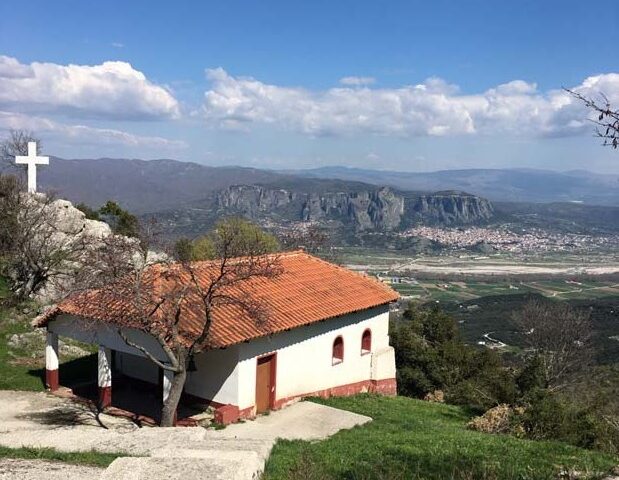
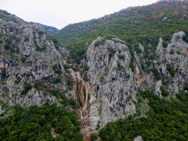
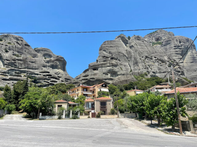
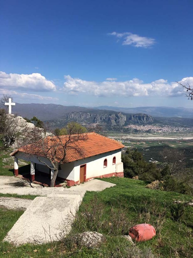
Hiking trail that starts from Diava and ends at the chapel of Saint John. The route lasts approximately 60′ in total. The visitor has the opportunity to observe the limestone formations of Koziakas (Triassic-Jurassic age) which have been placed on the Flysch of Pindos (lower, west of the path) by the Koziakas Thrust. At the small church of Saint John, there is the opportunity for a short stop and a panoramic view of the rocks of Meteora and Kalambaka.