Address
Kalampaka 422 00
GPS
39.73197421, 21.63261194
Distance 2,772.26 m. | Technical Difficulty Moderate | Max Altitude 675.07 m.| Duration 30 minutes
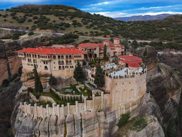
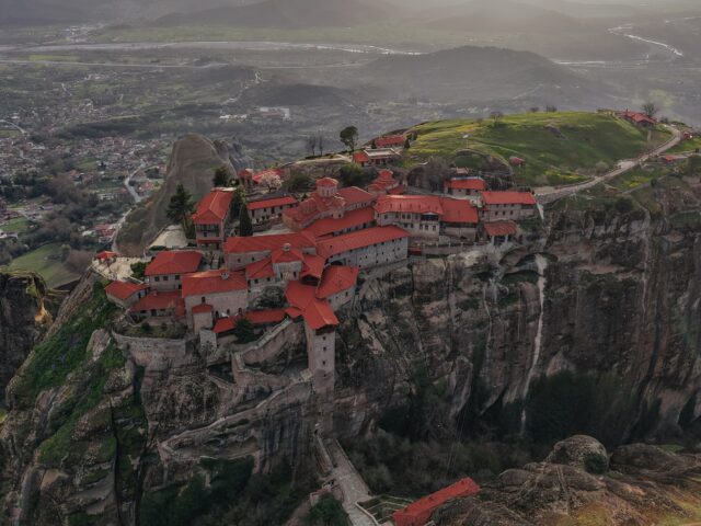
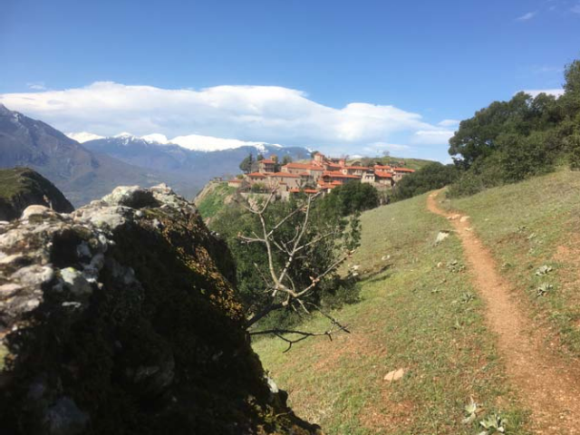
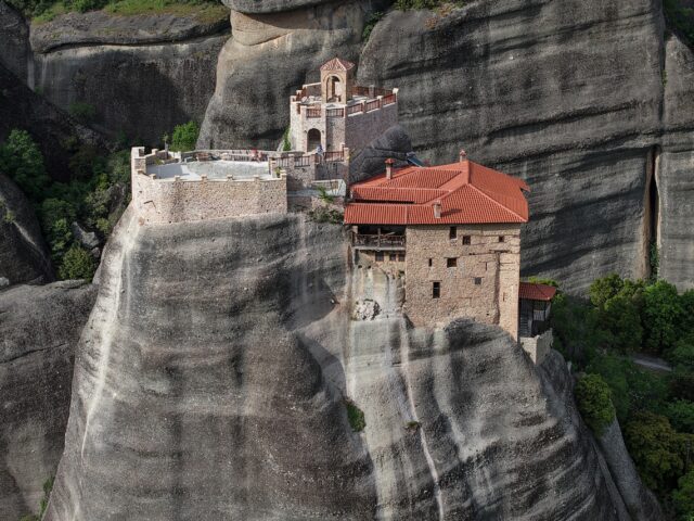
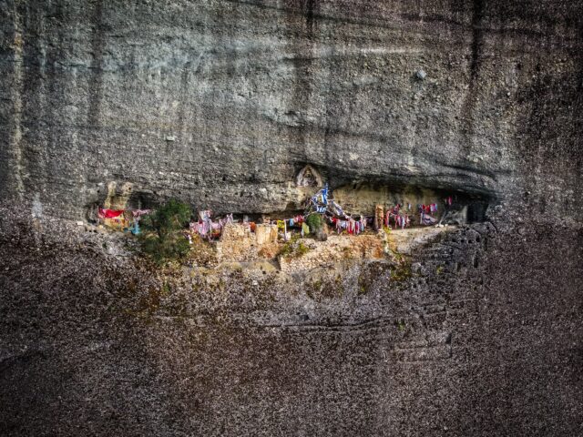
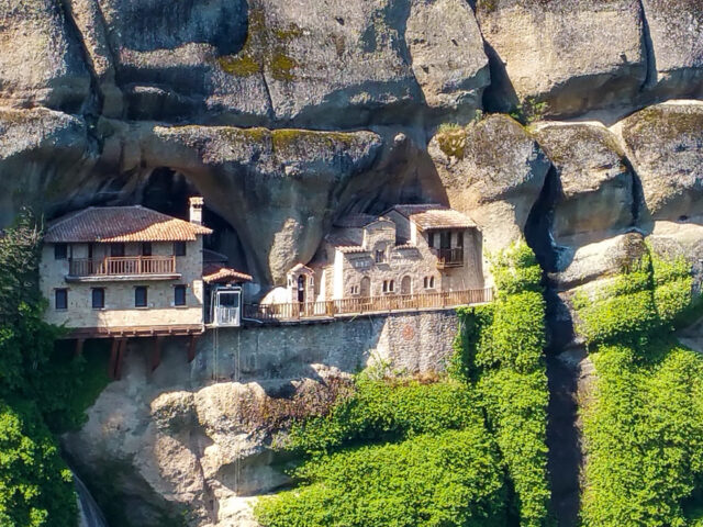
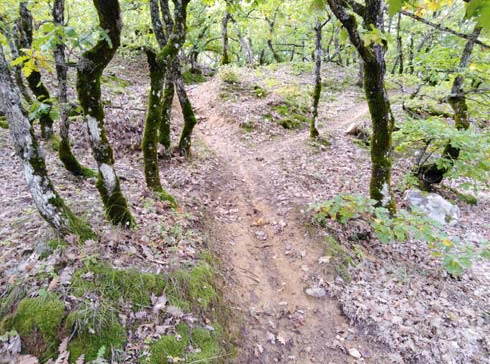
Hiking trail that starts from the Kastraki-Vlachava road. The route lasts approximately 30′ in total. The route crosses the hilly area north of the Meteora rocks and ends in the area of the Ypapanti Monastery and the Vlachava Monument. The route connects to the Kastraki – Ypapanti Monastery trail. The visitor has the opportunity to see up close the Upper Conglomerates of Meteora (Miocene age), which are composed of softer rocks (sandstones, clays, conglomerates) compared to the more compact and cohesive Lower Conglomerates of Meteora, that form the rocks.