
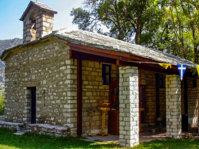
Following the uphill road above the village of Agia Paraskevi (Tzourtzia) we find on a small plateau that interrupts the steep slope, the chapel dedicated to Agia Marina. The holy church of Agia Marina was erected by the F.A.T.A. "Educational Brotherhood of Tzourtzia Athamania" in 1902 at an altitude of…
View more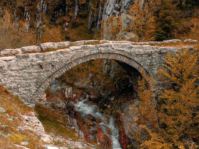
About 2.5 kilometers from Chaliki is the bridge of Filos. The stone bridge of Filos was built in 1600 by the livestock owner Michalakis Filos from Chaliki. It is a single-arch stone bridge, with an arch opening of 8 meters. Near the bridge are the remains of the Skala of…
View more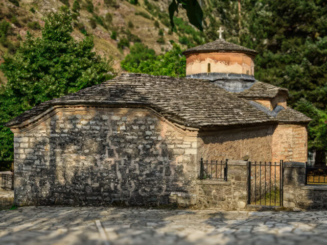
The Church of St. George is the oldest church in the village of Tzourtzia (Agia Paraskevi) in Aspropotamos. It was probably built in the 18th century or earlier, and was frescoed in 1790. Later, the stone bell tower was added to the church's enclosure. It is located at the western…
View more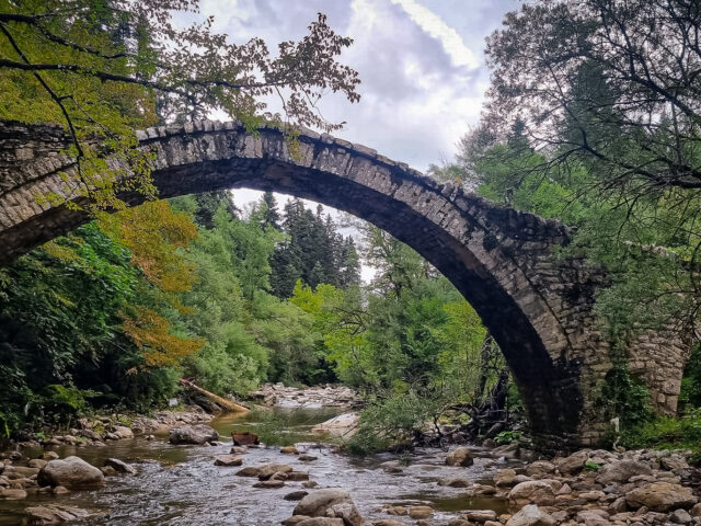
Impressive double-arched stone bridge of Aspropotamos (Acheloos River) with a span of 12.5 meters near the community of Anthousa. The bridge of Michos marked the beginning of the mule track that followed the route from the villages of Aspropotamos to those of Tzoumerka. It is located near the provincial road…
View more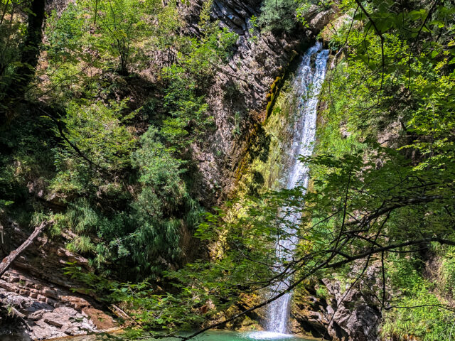
Distance 2,638.89 m. | Technical Difficulty Moderate | Max Altitude 917.37 m. | Duration 120 min Hiking trail that starts from the church of Agios Georgios in Agia Paraskevi (Tzourtzia) and ends at the ‘The Demon’s Mandani’waterfall. The route lasts approximately 120' in total. The classic hiking trail follows the…
View more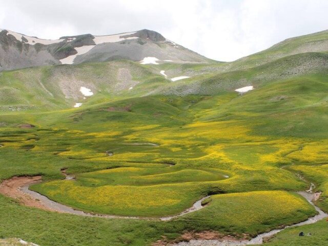
Area Code: GR2130007 | Area: 20344,99 hectares Lakmos (Peristeri) is a long, narrow, imposing mountain range, with beautiful alpine plateaus that rises like a giant wall between the geographical regions of Epirus and Thessaly. Within the Geopark, it encompasses the area of Chaliki and Anthousa, with Verliga glacial plateau and…
View moreSEARCH
Looking for more?
Cras rutrum tellus et vulputate accumsan. Sed id ultricies mauris, nec semper nisl. Morbi quis purus cursus.

