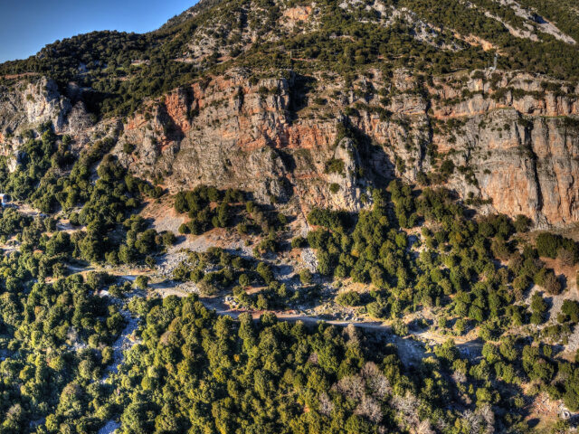
tarting from Pyli, this route takes you on a full circuit around Mount Koziakas (Kerketio), offering a wide variety of landscapes and experiences. Much of the route roughly follows the Koziakas Thrust Geosite, a major fault line where the geological formations of Koziakas have been thrust over the formations of…
View more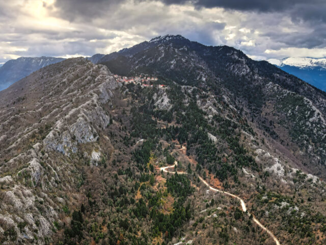
Area Code: GR1440006 | Area: 19809,03 hectares Kerketion Oros (Koziakas) is a mountain at the left edge of central Pindhos range, with bare and rocky ridges and peaks but also with fir forests and open structure ravine forests. The vegetation of the area includes phrygana, dry calcareous grasslands, dry siliceous…
View more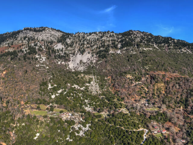
Area code: GR1440002 | Area: 50.636,99 hectares Koziakas (Mount Kerketion), is a beautiful long mountain west of Trikala. It is located at the easternmost edge of the central Pindos. It is densely forested for the most part. The vegetation of the area includes toadstools, dry limestone meadows, dry siliceous meadows…
View more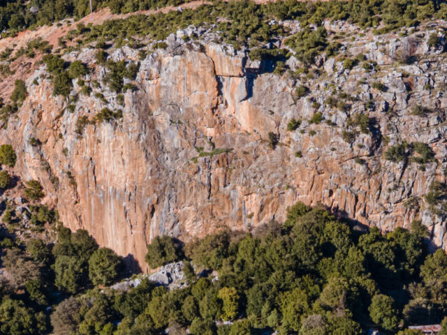
The Koziakas geotectonic unit, together with ophiolitic rocks, are tectonically placed towards the West on the Tertiary flysch of the Pindos belt, with a characteristic surface of compressional movement, creating the Koziakas thrust. The Koziakas tectonic thrust is indicative of the direction of compression during the final stage of the…
View more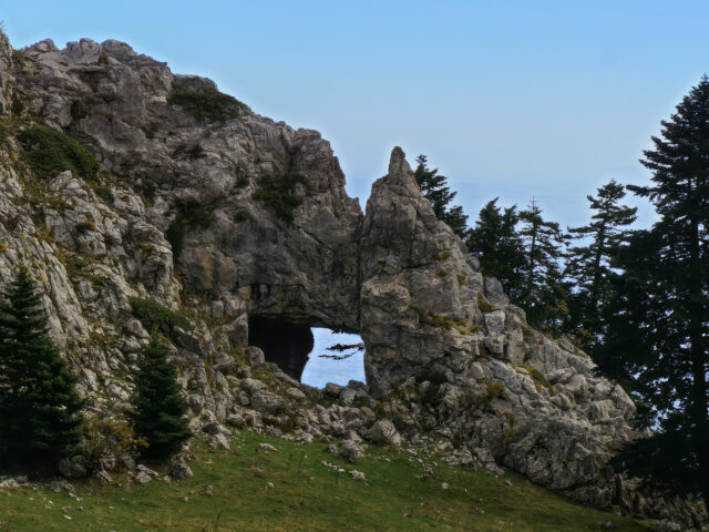
Trypio Lithari is a natural arch formed by the erosion of limestone rocks on the eastern ridge of Koziakas, at an altitude of 1650 meters, and is one of the mountain's landmarks. The arch, with an opening of about 10 meters, forms a passage to the western side of the…
View more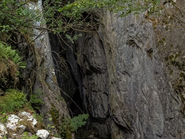
Mpeis cave is located on a small plateau of southern Koziakas, at an altitude of 1188 meters. It is a site of natural beauty, with dense vegetation and fir trees, through which the European Trail E4 passes. Near the cave is also the Mpei spring, from which its name came….
View moreSEARCH
Looking for more?
Cras rutrum tellus et vulputate accumsan. Sed id ultricies mauris, nec semper nisl. Morbi quis purus cursus.

