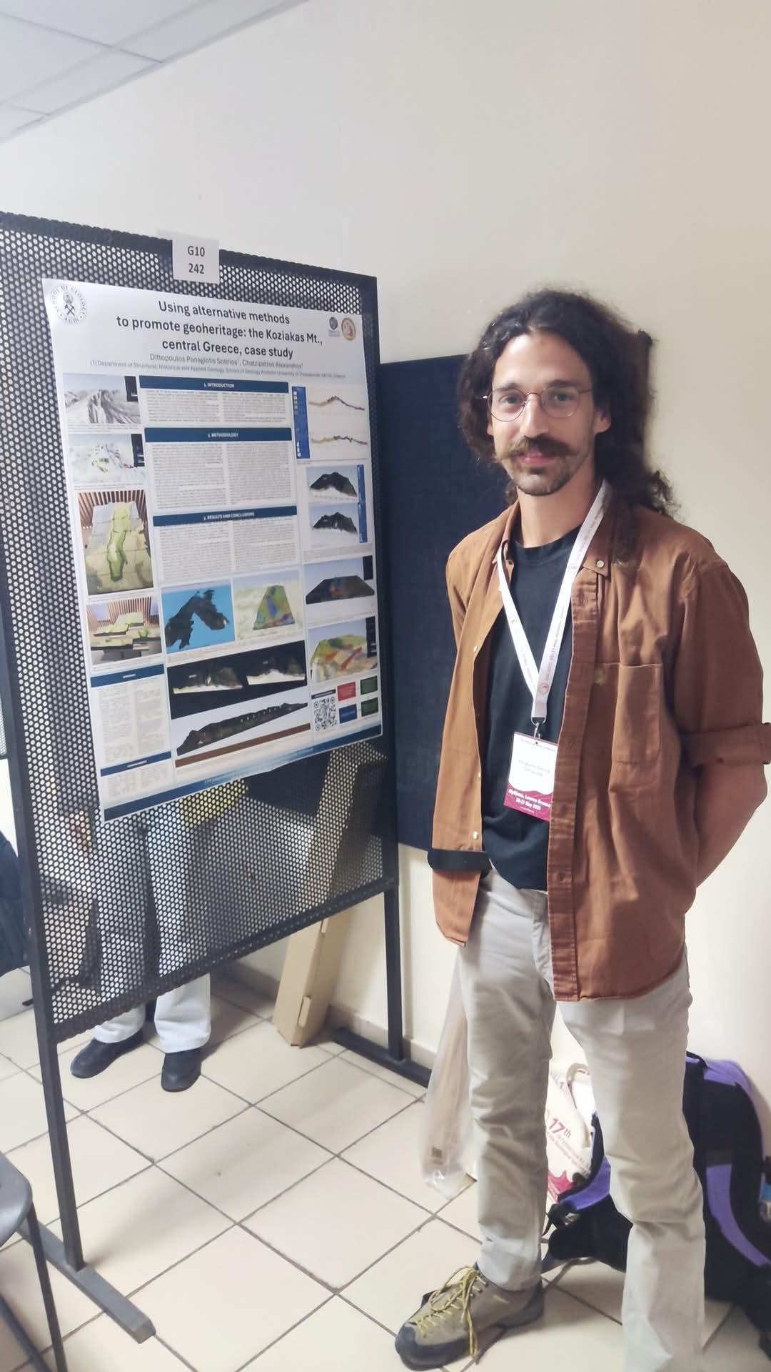
This study presents an innovative approach to promoting the geoheritage of Mount Koziakas, a significant geological formation in western Thessaly and part of the Meteora-Pyli Geopark. By utilizing open geographic data, geological maps, photo-interpretation, and digital elevation models from the Hellenic Cadastre, the researchers developed an interactive three-dimensional model using QGIS software and the qgis2threejs plugin.
The model includes layers such as geological cross-sections, slope and hydrography maps, as well as observation fields (e.g., faults, fossils, formation dips). It is available online, allowing users to virtually explore the area, experiment with elevation, and highlight geological phenomena in a modern and accessible way. Furthermore, the model can be used to create physical 3D printed representations, enriching the experience in museums, schools, and interpretation centers.
The study highlights the importance of new technologies in communicating complex geological information to the general public, promoting experiential learning, and reinforcing the role of the Geopark as a hub for education and natural heritage preservation.
View the interactive model here.
Access the full research here.

