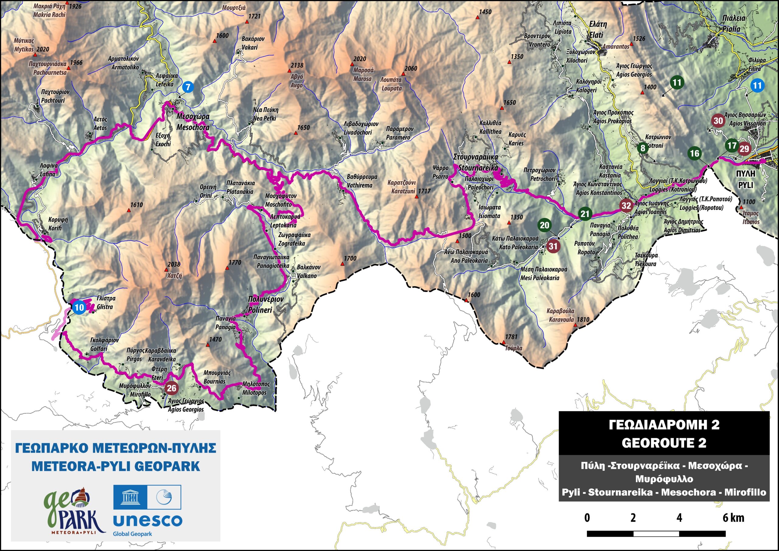
Crossing Pindos ΙΙ
Pyli – Stournareika – Mesochora – Myrofilo
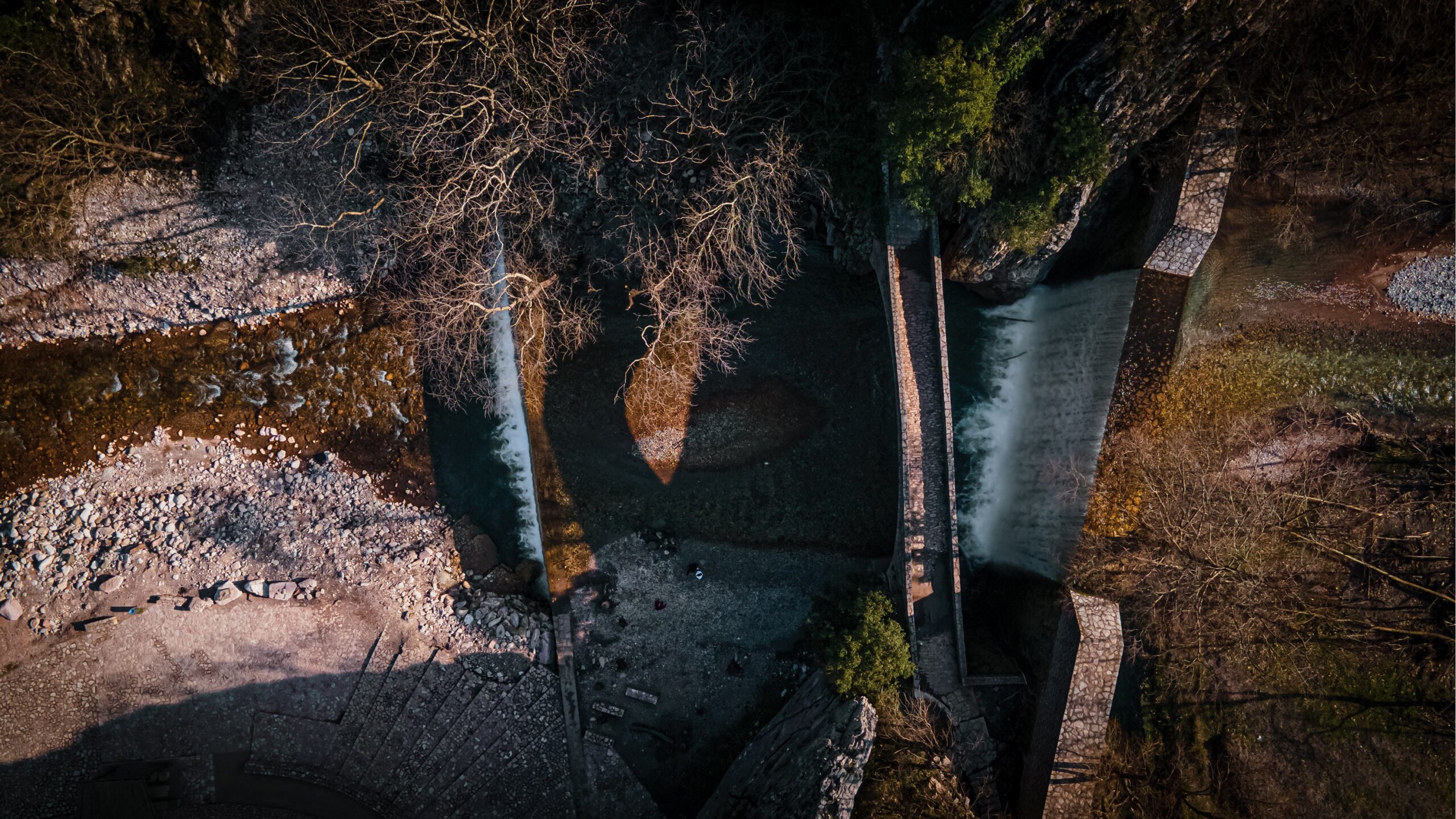
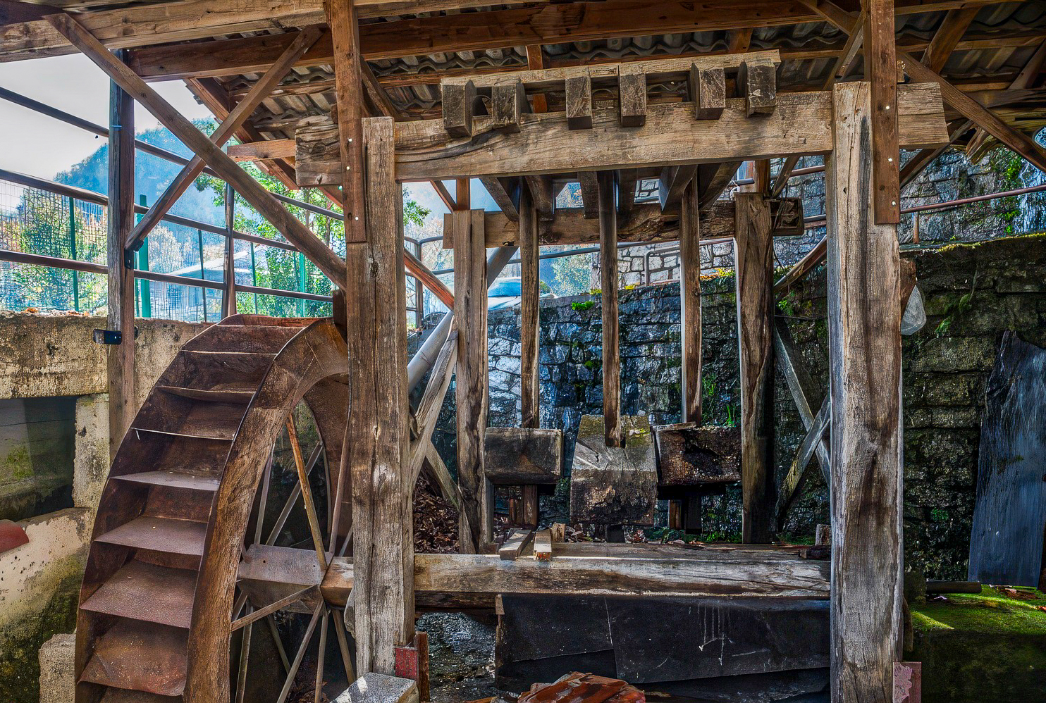
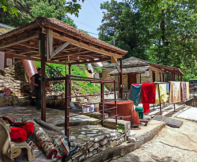
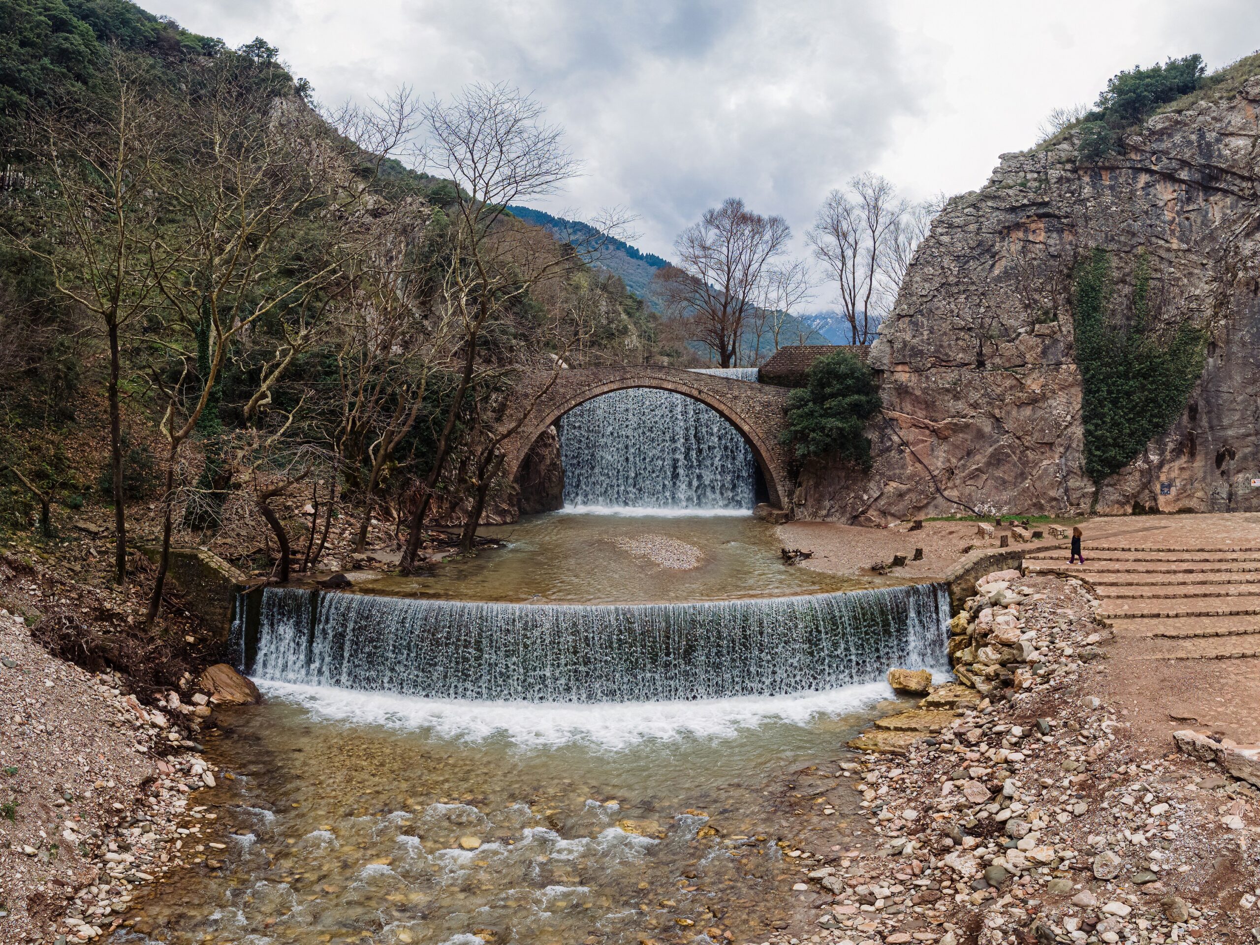
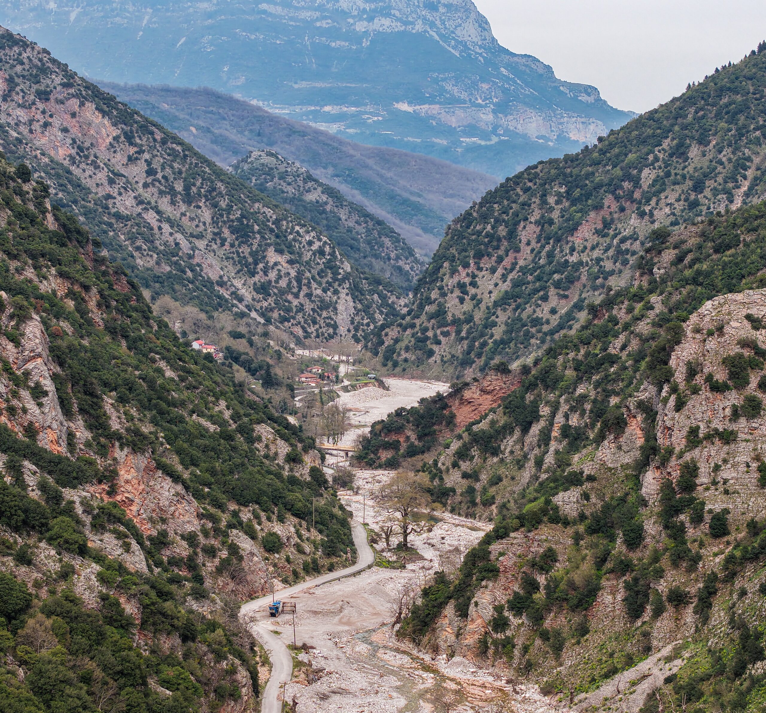
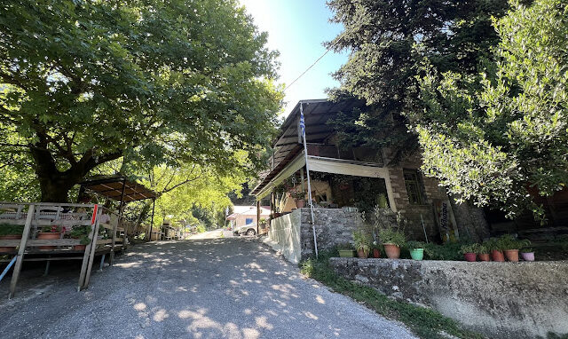
This magnificent scenic route allows visitors to explore and observe the full range of impressive geological formations that define the Pindos Geotectonic Zone. The Pindos formations—including limestones, cherts, radiolarites, and sandstones—appear in repetitive sequences, a result of intense folding and thrusting. The region’s tectonic deformation has created the almost vertical rock layers that are visible today in the landscape. A large part of the route follows the Trikala–Arta National Road, passing through numerous picturesque villages in the southern part of the Geopark. Along the way, visitors encounter stone bridges crossing mountain streams, historic monasteries and chapels, hidden waterfalls nestled in the hillsides, and the awe-inspiring valley of the Achelous River (Aspropotamos), stretching from Mesochora to Myrofyllo.